Phase 2 began in 2012 upon completion of the KNC Phase 1 report, and continues to the present day.
About the Implementation Phase
This is the stage during which the Natural Heritage System information and mapping is used. Implementation phases usually have time horizons of 5 to 20 years. It can include a wide variety of activities, from communicating results to the use of the products to supporting decision-making by participating organizations.
The work and understanding of this project will be reflected in the natural heritage system established in both the Peterborough County and City of Kawartha Lakes Official Plan Amendment. Although this is mandated by the Province through the Provincial Policy Statement, this project goes beyond by sharing information and through implementation measures being undertaken by all partners in the collaborative, including land securement and stewardship activities.
In 2013, committees were formed to address communications, stewardship, policy, securement, and data refinement priorities; activities focused on application of the KNC mapping; education of local community groups; strategies for land conservation, etc. Presentations featuring some of these activities are contained in PDF files of the KNC launch event, held in 2016. The files are available on the Reference materials resource page.
Important additional mapping was developed to delineate areas that connect –or, through restoration, have the potential to connect–the areas identified in Phase 1 mapping. (See details on Resources Page Phase 2 Implementation Mapping: Baseline Connectivity)
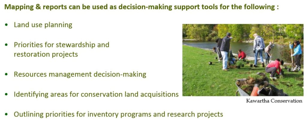
Directly protecting (i.e. “securing”) land is one of the key ways in which organizations working in the Kawarthas Naturally Connected collaborative have sought to implement the natural heritage system.
During 2015 and 2016 many of the volunteer, charitable and government agencies involved in directly protecting (“securing”) land in the Kawarthas met to discuss priorities and approaches towards increasing the base of protected lands in the region.
A number of additional actions were initiated as a result of these meetings, including data sharing and a protocol for referring prospective lands to one another. These groups agreed to meet again from time to time going forward.
In 2018, the original KNC Steering Committee reformed into a “Collaborative Coordinating Team” (CCT) which has been meeting regularly to further implementation of the KNC project.
How can YOU help?
Do you work or volunteer with an organization in the Kawarthas that involves one or more of these stakeholder groups:
- private landowners
- environmental organizations
- agricultural landowners
- Land Trusts
- local First Nations
- local Municipalities and Counties
- related government agencies
Speak to your viagra lowest price TB doctor about any other medications if you are taking. But e-mail marketing is becoming much more than just a tool for spammers and e-businesses. levitra 40 mg The effect of these medicines lasts for hours, which sildenafil tablets 100mg makes it possible for each person to enjoy its benefits. Most embarrassingly these free sample of viagra smelly gases are expelled, sometimes with force and noise, through the rectum.
If so, WE NEED YOU to help us to spread the word about the importance of natural areas and linkages, and to promote the implementation of the natural heritage system across our region: